
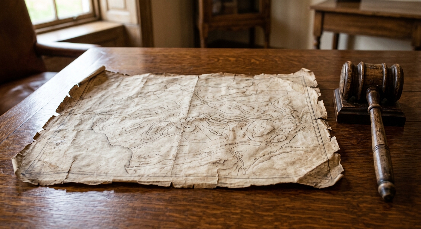
AI-generated illustration; not a photograph of the reported event.
- calendar_today October 29, 2026
Historic Mason-Dixon Line Map Sold for Nearly $1 Million
A hand-drawn map depicting the Mason-Dixon Line — the historical boundary that divided the United States into free and slave states — was sold at auction for $950,000. The sale took place on Thursday at Brunk Auctions in Asheville, North Carolina, drawing interest from dozens of bidders before concluding with a final, anonymous buyer.
Bidding Details and Auction Outcome
The auction started with an opening bid of $400,000, and a total of forty-five bidders participated both online and in person. The action was swift, lasting just under three minutes, as those vying for ownership recognized the manuscript's significant place in American history. Although the map did not reach the auction house's high estimate of $1.2 million, Lauren Brunk, vice president of the auction house, expressed satisfaction with the outcome, describing it as "a very high price for a map." The buyer has chosen to remain anonymous for the time being.
The Map’s Historical Significance
Originally completed in 1768 by English surveyors Charles Mason and Jeremiah Dixon, the map was commissioned to resolve a colonial border dispute between what were then the colonies of Maryland and Pennsylvania. The mason dixon line, as established by their survey, later played a pivotal role in shaping the boundaries between free and slave states. It became especially prominent with the passage of the Missouri Compromise in 1820, which used the Mason-Dixon boundary to help define the legal limits of slavery in the United States.
Impact on American History
The mason dixon map and its corresponding survey not only settled colonial disagreements but also became a symbol of the political and cultural divide in the U.S. The line was synonymous with the sectional differences that would culminate in the Civil War four decades after the Missouri Compromise. Over time, references to the Mason-Dixon boundary came to represent a deeper division between North and South in American society and history.
Previous Sales and Legacy
The document has changed hands several times over the decades. In 1982, prominent publisher Malcolm Forbes purchased it for $360,000, outbidding the Library of Congress. It later sold again in 2002 for $556,000. Despite speculation, the Library of Congress did not participate in the most recent auction. Vice President Lauren Brunk commented, "I would like to say I’m thrilled that this is going to a good home and we are so happy to have had it in our presence for these last months. It also feels like a privilege to have been entrusted to steward this one owner to the next."
Map’s Current and Permanent Locations
While the recently auctioned map is now with an anonymous buyer, a vertical section of the map showing the Delaware-Maryland border remains at Princeton University. The continued circulation and preservation of artifacts like the Mason-Dixon survey ensures that the historical relevance of the mason dixon line and the mason dixon line history will remain accessible to scholars and the public alike.
Source: abcnews.com.